.
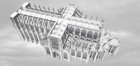
1. Construction Sequence: 1220-1528
.
Thanks to InUnum Ensemble for recording the accompanying song by Pérotin: Beata Viscera, c.1220
.
1220-c.1225
Master Robert de Luzarches began work on the foundations and lower wall.
He may have been assisted by Thomas de Cormont
1225-30
Master Robert de Luzarches and Thomas de Cormont constructed the south nave aisle
rapidly to provide space for liturgical celebrations
1230-1235
Master Robert de Luzarches and Thomas de Cormont built the north nave aisle
soon afterwards
1240s-c.1250
Master Thomas de Cormont constructed the upper nave and belfries of western towers
c.1250
Master Thomas de Cormont died having completed the upper nave,
begun the upper transept and laid out the lower choir
1250s-1260s
Master Renaud de Cormont completed the upper transept and upper choir
The axial window of the choir clerestory was installed in 1269
1280s-c.1310
Main roof installed from east to west
1360s-c.1400
Construction of west towers
1528
Old steeple destroyed by lightning; construction of the grand clocher doré completed c.1533
.
Text by Stephen Murray
-
-
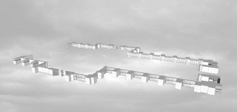
c.1220
-
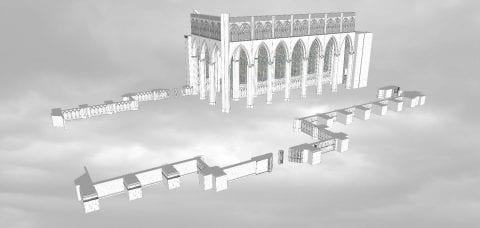
-
c.1225
-
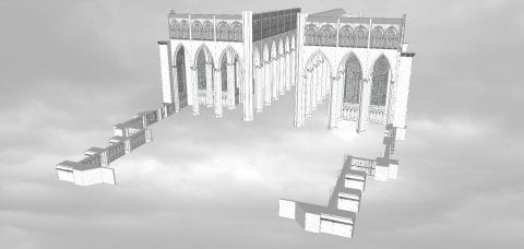
-
c.1235
-
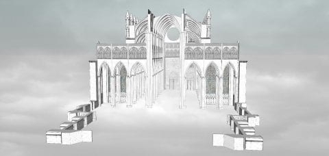
-
c.1245
-
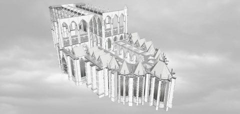
-
c.1255
-
-
c.1265
.
.
2. Amiens Cathedral in Cross Section
This film shows the cathedral in cross section,
exploring the relationship between interior and exterior spaces.
.
Music: Mille Regretz by Josquin des Prés
.
|
Section of choir
|
Section of western half of cathedral
|
.
3. Cathedral Flythrough
Viewers approach Amiens from the west, like medieval pilgrims did. Viewers then move through the complex system of flying buttresses that support the cathedral vaults. The animation then reconstructs the dynamic geometry that engineers encoded in the cathedral floor plan. The film closes with the view from below the foundations, as if the cathedral were floating on air.
.
Music: Viderunt Omnes by Pérotin, 1198
.
|
Section of the nave roof
|
Section of west façade |
.
.
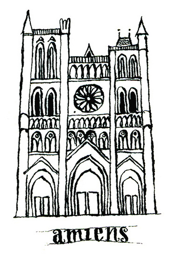 Along with the Parthenon, Amiens Cathedral is introduced each semester to students in Art Humanities. This seminar has been taught since 1947 and is required of all undergraduates as part of the Core Curriculum. Through broad introductory courses in art, literature, history, music, and science, the Core aims to produce well-rounded citizens of Columbia University students. Amiens was chosen as representative of all Gothic architecture, and as a lens through which to teach skills of visual analysis. This computer model I created instructs over 1,300 students per year.
Based on the computer model, I produced the three short films above: (1) a construction sequence, (2) a digital flythrough of the finished cathedral, and (3) a speculative animation of the cathedral in cross section. This trilogy is complemented with music from Pérotin (the thirteenth-century French composer) and Josquin des Prés (the fifteenth-century composer). Both musicians also happen to be featured in the Music Humanities component of the Core Curriculum.
My objective is to digitize and re-imagine Amiens. To borrow a quote from Viollet-le-Duc, the legendary nineteenth-century preservationist-architect of Notre-Dame of Paris, my aim was “to restore the building to a state of completeness that may have never existed.” For instance, Amiens lost almost all of its original stained glass windows and large parts of its nave. My project responds by presenting the cathedral in an idealized light. Awkward walls, later additions, and anachronistic features can all be airbrushed away from my model, so as to reveal how the master masons originally envisioned their cathedral in the thirteenth century.
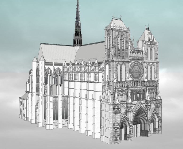 A building is experienced as a sequence of sights and sounds. A research text about such a building, however, can only capture limited information. Photography, film, and computer simulations are, in contrast, dynamic and sometimes stronger mediums to communicate the visual and engineering complexity of architecture. This project seeks to capture dynamic Amiens through a visual, auditory, and user interactive experience. Through film, one can recreate and expand the intended audience of this architecture, recreating digitally the experience of pilgrimage.
In Viollet-le-Duc’s 1863 book, Entretiens sur l’architecture, he presented Gothic architecture as the synthesis of a Roman basilica and a Romanesque church. After several centuries of evolution, these two forms merged into the singular form of the Gothic cathedral. For him, the Gothic cathedral (particularly Amiens) was the pinnacle of human architectural and aesthetic achievement. In other words, the cathedral’s form and plan evolved in response to theology and changes in the rituals of the Mass.
The two animations below illustrate Viollet-le-Duc’s thesis about Gothic. Although later scholars dispute his simplistic analysis, his work remains influential.
.
|
Evolution of the cathedral from early Christian to late Gothic
|
Development of the cathedral plan over 1,000 years.
Inspired from Viollet-le-Duc’s writing
|
.
.
Cathedrals and History
In the absence of surviving written records, many scholars read cathedral construction as a proxy for economic growth, or as a symbol for the structure of medieval society. The decision of where and when to start building a cathedral was tied to the right economic and political conditions. The large majority of cathedrals were built in the region of Northeastern France during the High Middle Ages – during a period of remarkable economic growth and productivity in the thirteenth century. Construction slowed after climate change caused failed crops, followed by the Great Famine (1315) and the Black Death (1350). The economic conditions and cathedral construction never rebounded for a long time afterwards, and when construction did rebound, Europe had entered the Renaissance with a new aesthetic sensibility different from Gothic Amiens
The cathedral can also be read as a political symbol. Funding came from a combination of donations, indulgences, and taxes on church-owned farmlands. The logic between competing regions and feudal kingdoms in medieval France reads something like: the larger and prettier the cathedral, the larger and more powerful the city and sponsors behind it. For many of these towns, the size of the cathedral was well out of proportion to the actual size of the town. Amiens, for instance, was one of the largest cathedrals in Europe for a town of ~26,000. The other cathedral town of Chartres was, similarly, competing with Paris for power and independence. Cathedral were architectural symbols for the competitions between cities and regions. In this light, the cathedral became as much a religious space as a political statement of civic identity.
.
Credits
I am indebted to the expert guidance of medieval historian Stephen Murray, who mentored me in the fall 2016 seminar Life of a Cathedral: Notre-Dame of Amiens. I also thank Columbia’s Center for Career Education for funding this project through its Work Exemption Program.
.
Method
Anyone can download and edit this model for free with SketchUp. Over 3,000 people have downloaded this model, and numerous others have 3D printed it as part of their architecture studios. Among software, SketchUp is easiest to learn. Within minutes, students and teachers unfamiliar with SketchUp can build their own models with ease. In response to several rounds of edits and suggestions from Stephen Murray, I finished this model and exported the animation for final edits and special effects.
In this recorded lecture, I describe the workflow and editing process behind this project.
.
Sources
– Based on Stephen Murray’s measurements and drawings of Amiens from 1990 (link)
– And these hand drawings by George Durand from 1901-03 (link).
.
Related Projects
I also researched the construction of:
.
.
The cathedral from your computer
Animated Glossary of Amiens Cathedral
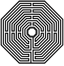
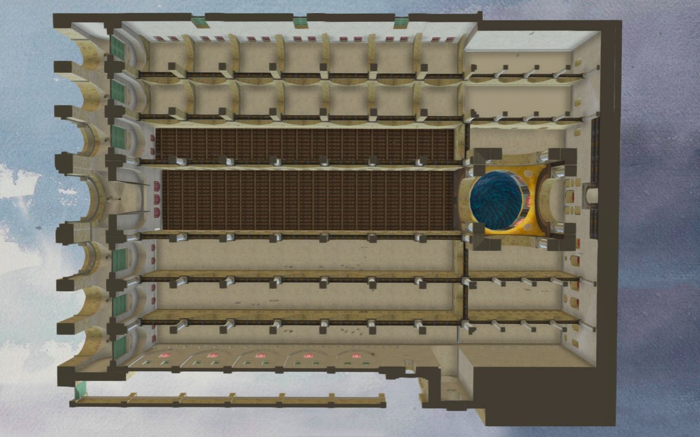
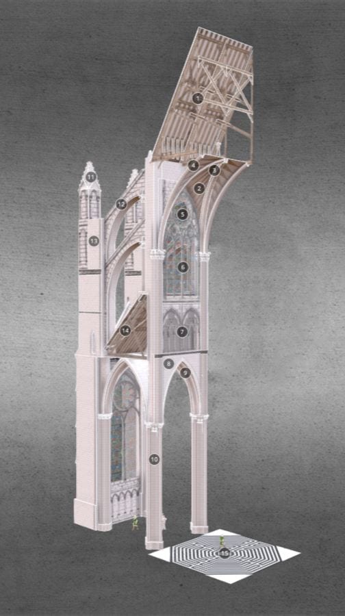
This model shows a section of Amiens’ nave with the labyrinth below. Photo-realistic textures from actual photos and drawings of Amiens enhance the illusion of reality. Click numbered annotations to view details. Click and drag mouse to fly around the model. Please be patient while the model loads.
.
.
Amiens Cathedral Exterior Computer Model
.
.
Amiens Cathedral Exterior Photos
.

Approaching Amiens through the city gates

Moving through the city

Confronted with the west façade, 120 feet wide and 200 feet high

West façade

Nave

Nave

North transept

Treasury (below) and choir (above)

Apse

Apse

Buttresses

Choir

South transept
.
Amiens Cathedral Interior
Gallery is organized sequentially to mirror the experience of walking through the cathedral.
.

Nave aisles

Nave aisles

Aisles

Nave

North aisle of nave

Nave aisles

Nave aisle windows

Triforium of the nave

Clerestory windows of nave

North aisle of nave

Nave toward west façade

North transept

North transept

South transept

South transept

Nave and choir

Nave and choir

Choir

Choir hemicycle

Triforium level of choir

Chapels in the apse

Choir

Nave aisle windows

Triforium of the choir

Aisles

Radiating chapels

Radiating chapels

Wood rafters inside the roof
.
Cross Sections
.
.
Dynamic Angles
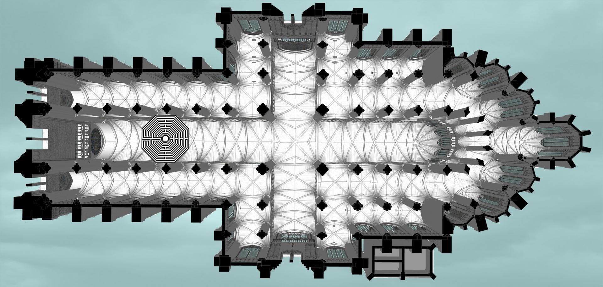
Computer models allow us to explore architecture in ways not possible in reality. With Amiens floating in the sky, one looks up to the grid of vaults and the forest of columns. The cathedral is real, but the views of it are imaginary.
.
 Developed with input from James White,
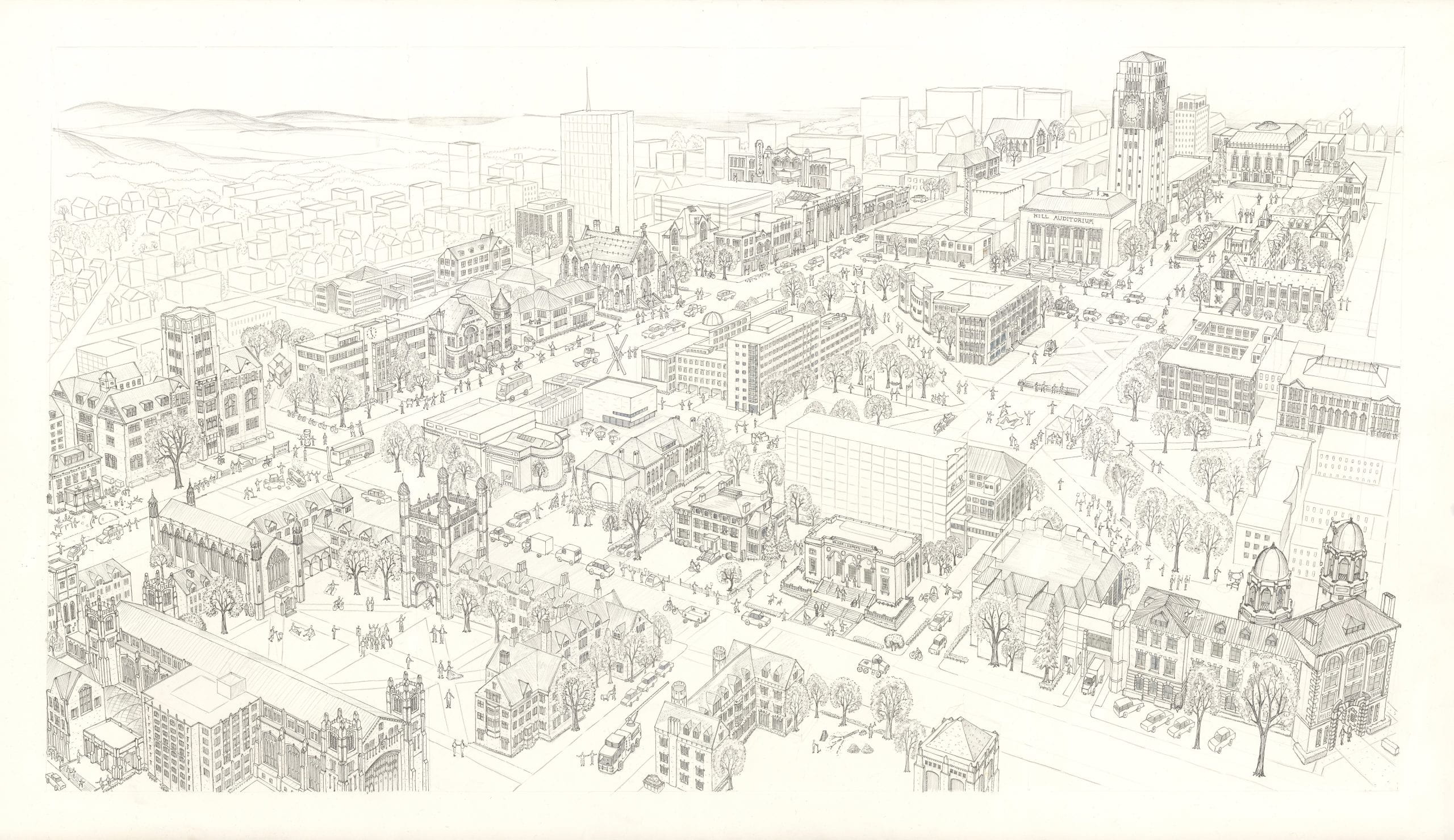
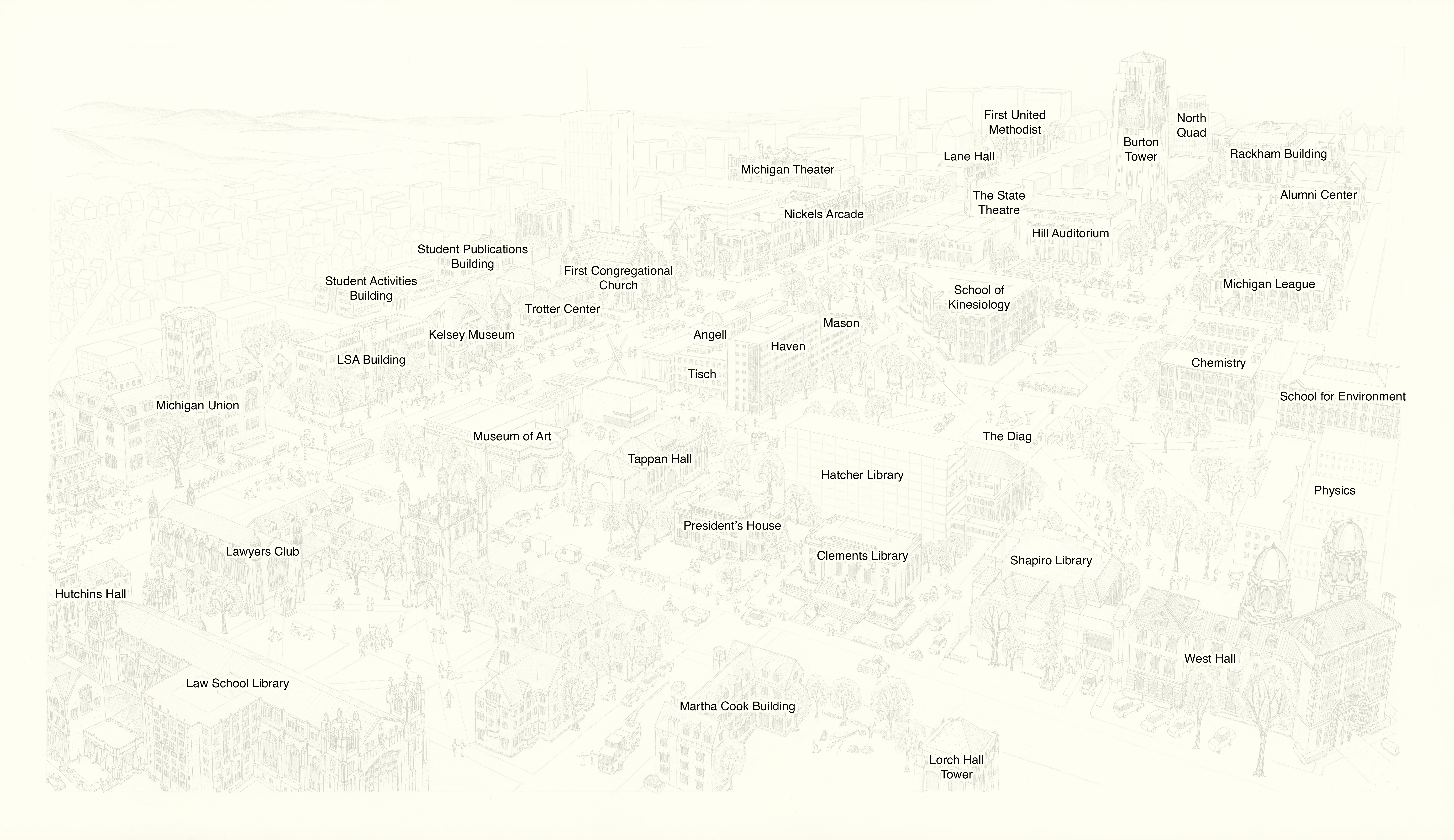


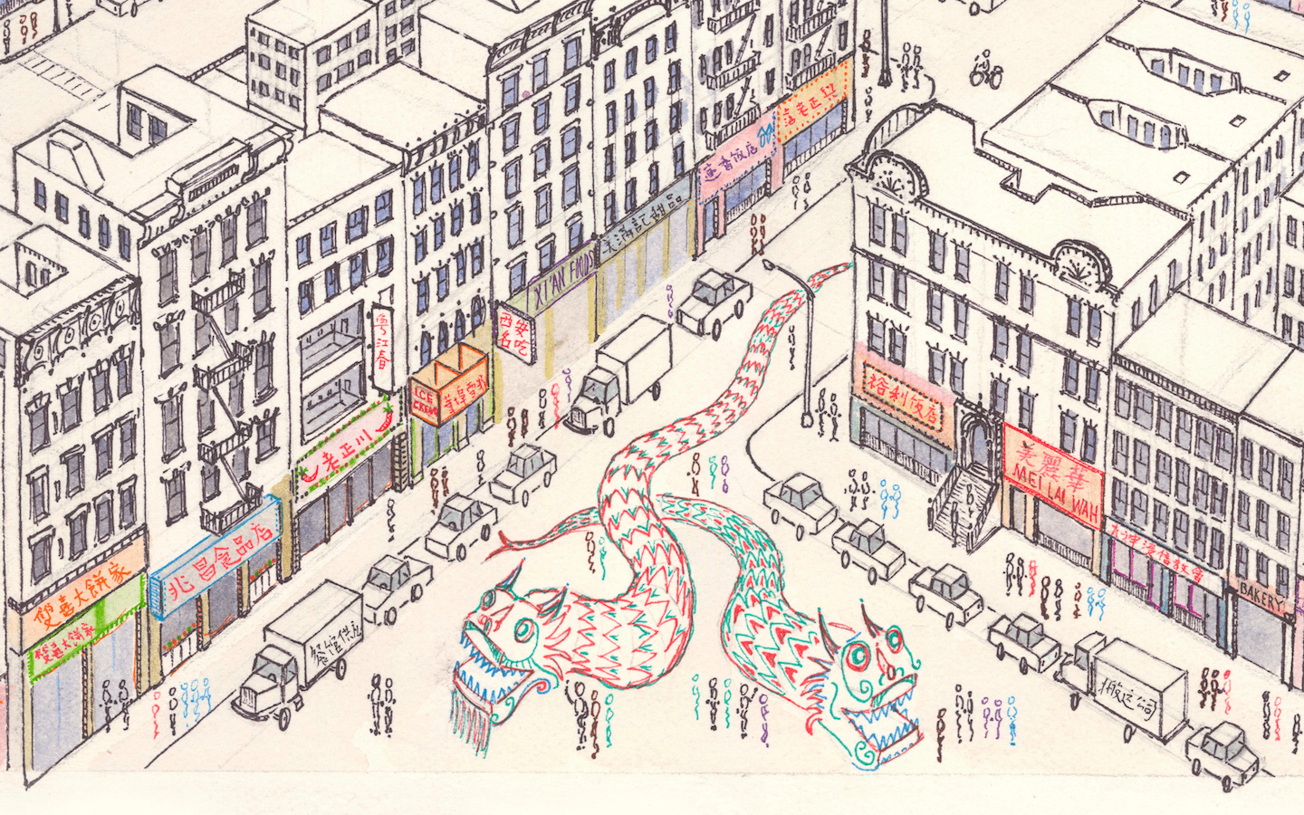






 Along with the Parthenon, Amiens Cathedral is introduced each semester to students in Art Humanities. This seminar has been taught since 1947 and is required of all undergraduates as part of the Core Curriculum. Through broad introductory courses in art, literature, history, music, and science, the Core aims to produce well-rounded citizens of Columbia University students. Amiens was chosen as representative of all Gothic architecture, and as a lens through which to teach skills of visual analysis. This computer model I created instructs over 1,300 students per year.
 A building is experienced as a sequence of sights and sounds. A research text about such a building, however, can only capture limited information. Photography, film, and computer simulations are, in contrast, dynamic and sometimes stronger mediums to communicate the visual and engineering complexity of architecture. This project seeks to capture dynamic Amiens through a visual, auditory, and user interactive experience. Through film, one can recreate and expand the intended audience of this architecture, recreating digitally the experience of pilgrimage.


