This project in two parts is a brief history of city planning in Jersey City
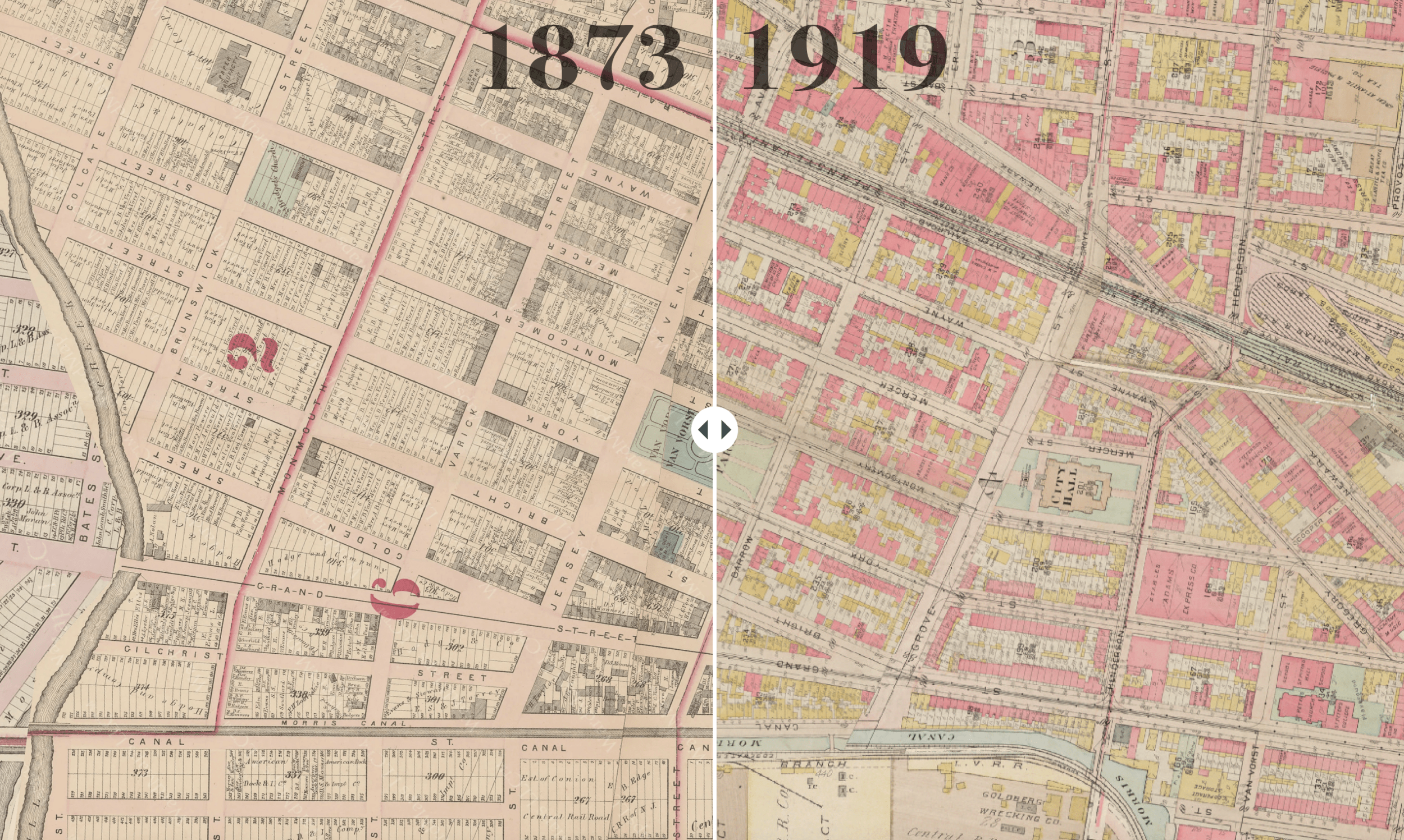
and a building-level interactive map of the entire city in 1873, 1919, and today.
.
Read / download book as PDF
Download opens in new window
.
Jersey City: Urban Planning in Historical Perspective
A booklet about the history of the master plan
Over its four-century history, the evolution of Jersey City mirrors the larger history of the New York region. Each generation of Jersey City residents and political leaders have faced different urban challenges, from affordable housing, to clean water, to air pollution, and income inequality. Each generation has responded through the tools of city planning and the master plan.
Jersey City’s six master plans – dated 1912, 1920, 1951, 1966, 1982, and 2000 – capture the city at six historical moments. Reading these plans and comparing them to each other is a lens to understand urban history, and American history more broadly.
.
Classroom Discussion Questions
1. How has the built environment of Jersey City evolved in the past century?
2. Who has the right to plan a city?
3. Who has the right to shape a city’s future?
4. Do you feel you have power over the plan of your city?
Read More
.
Visit Internet Archive for the source files and digitized city plans on which this project is based.
.
What did Jersey City look like 150 years ago?
A comparison of the urban form over time
.
.
This publication and project are made possible by a grant from the New Jersey State Council on the Arts (a division of the Department of State) and administered by the Hudson County Office of Cultural & Heritage Affairs (Thomas A. DeGise, Hudson County Executive & the Hudson County Board of County Commissioners). Project made possible with historical assistance from public library archivist John Beekman.


